


Lake Winnipesaukee Alliance staff and volunteers have been surveying shoreline properties for years, and for the first time this year sent out report cards offering free consultations to homeowners in an effort to improve the environmental conditions of the more than 900 properties.
According to LWA President Pat Tarpey, 914 report cards were distributed out of the 2,700 properties surveyed from May through July. About 300 went to properties in the three surveyed regions, Alton Bay, Center Harbor and The Broads. The response has been low, with only 1% requesting a consultation.
“We emphasize that it is non-regulatory, and that they won’t get reported for a violation or anything,” Tarpey said. “I was happy we got responses. Some had shoreland violations, and they reached out to get help on having those fixed.”
Tarpey said LWA has been putting together surveys and has plans for all 10 watersheds across the lake, going bay by bay.
She said the watershed-based plan involves analyzing the water quality of each section. The survey includes a land use analysis, watershed surveys on the ground, and field surveys of where property owners drive.
The LWA staff and volunteers identify problems that could lead to pollution or nutrients entering the lake, especially relevant after the record cyanobacteria blooms in 2024. While it is a natural component of waterbodies, excessive cyanobacteria can produce toxins harmful to pets and humans.
A letter put out to residents with the report card states common pollution sources include stormwater runoff, shoreline erosion, gravel roads and aging and failing septic systems. The report card includes recommendations on how to take corrective action.
“By identifying and addressing these issues, we can take meaningful action to protect the lake we all love,” Tarpey said.
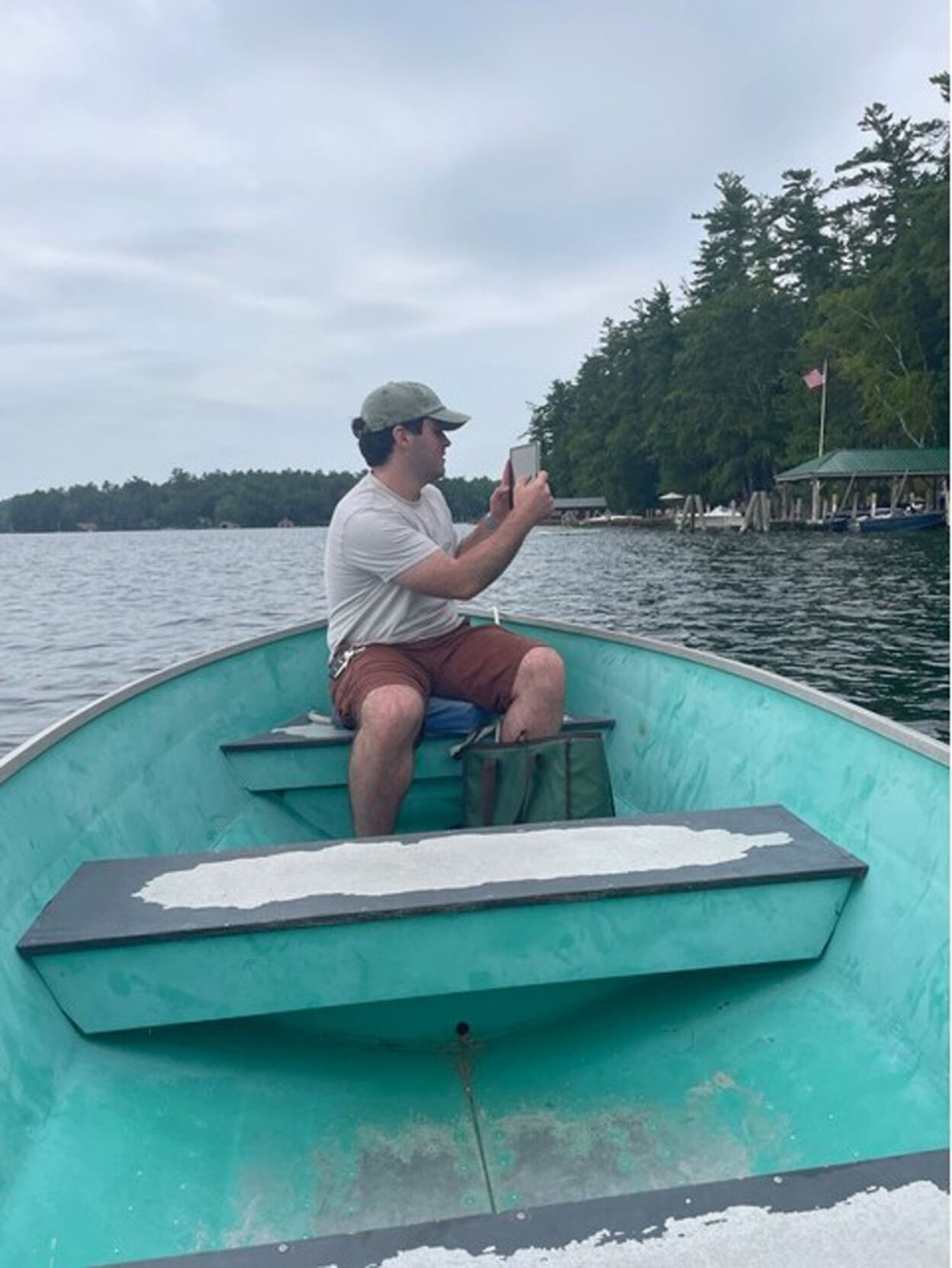
Most of the sites identified are public, and since surveyors can’t go on private property, they conduct shoreline evaluations from the water.
“We go out by boat with the parcel maps and evaluate each shoreline parcel as best as you can from the water,” she said. “We try to get close.”
There are two scores in the report card: the Shoreline Disturbance Score and the Shoreline Vulnerability Score.
The disturbance score evaluates whether there is a vegetated buffer, if bare soil is observed, and if there is any shoreline erosion. The score ranges from 3 to 12, going from best to worst, and any property over 6 is targeted.
“The disturbance score is where property owners can make changes,” Tarpey said. “They can fix soil and plant vegetated buffer. We will offer a free site [visit] to walk the property and give recommendations on what they can do.
“Really, when you think about the lake, the shoreline is the first line of defense from preventing nutrients and pollution from getting into the lake.”
The vulnerability score is from 2 to 6, and pertains to how close a structure is to the lake, as well as the slope of the land. A score of 4 is considered to be of concern. She said this score will be brought up to those who are targeted with the disturbance score. While slope and proximity of the structure to the shore can generally not be changed, there could be improvements, like making sure a steep slope is vegetated.
“We give them that score, and we would speak to them about it when we are at the site visit,” she said.
On average, the Shoreline Disturbance Score for the 1,140 lakefront properties in The Broads was 5, and 337 properties had a score of at least 7.
Tarpey said for the past five to six years, LWA has been conducting shoreline surveys, and keeping track of data internally. This is the first year they have distributed report cards and been available for site visits.
The site visits fall under the LakeSmart program, a non-regulatory, voluntary education and recognition program focused on protecting the lake.
“It is a free volunteer program, so most people who contact us want to do the right thing and understand all the issues involved,” Tarpey said. “But there are properties that really need the work to be done, which is why we sent reports this year.”
Tarpey said the low response could be due to several factors. One is cards are sent to the property owners’ year-round address. She also pointed out that summer is a busy time of year, and expects there could be some responses this fall or into next year.
About 5,200 total parcels on the Big Lake have been evaluated. Surveying continued in Meredith Bay and Saunders Bay this summer, and the plan is to send out reports from those surveys this fall.
“We will continue doing this, and I think the more people hear about the program, the more they will reach out.”


(0) comments
Welcome to the discussion.
Log In
Keep it Clean. Please avoid obscene, vulgar, lewd, racist or sexually-oriented language.
PLEASE TURN OFF YOUR CAPS LOCK.
Don't Threaten. Threats of harming another person will not be tolerated.
Be Truthful. Don't knowingly lie about anyone or anything.
Be Nice. No racism, sexism or any sort of -ism that is degrading to another person.
Be Proactive. Use the 'Report' link on each comment to let us know of abusive posts.
Share with Us. We'd love to hear eyewitness accounts, the history behind an article.